 Weather
Current conditions
Next 24 hours
7-day forecast
Alerts for this area
Local radar
National radar
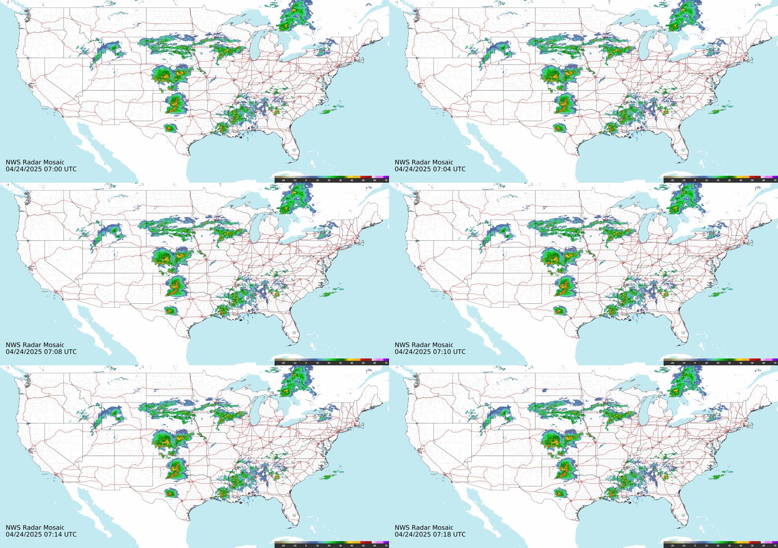
Radar: NOAA / National Weather Service (radar.weather.gov). Updates every few minutes.
Active severe weather alerts
Loading alerts…
Source: National Weather Service. Always follow your local officials.
Today's national outlook
Severe storm outlook: today
Loading today's highest risk…

Map: NOAA / NWS Storm Prediction Center Day 1 Convective Outlook. Risk levels run from Marginal (1 of 5) to High (5 of 5); even a Marginal risk can bring an isolated severe storm.
Hurricane tracker
Checking the National Hurricane Center…
Active Atlantic and Eastern Pacific storms from the latest National Hurricane Center public advisories. Category uses the Saffir-Simpson scale (hurricanes have sustained winds of 74 mph or more).
Weather news
About this page
Forecasts, observations and alerts on this page come directly from the free public data of the National Weather Service (NOAA). Location lookup uses Open-Meteo and Zippopotam.us. Local radar is the loop from the NWS radar site closest to you, picked by the Weather Service itself. Severe storm maps come from the NWS Storm Prediction Center and hurricane information from the National Hurricane Center, both part of NOAA. Forecasts cover the 50 states, DC and US territories. For life-threatening weather, follow instructions from local emergency officials.